Architecture · imported, unverified
Zamek Szprotawski
château
gmina Szprotawa · województwo lubuskie · Poland
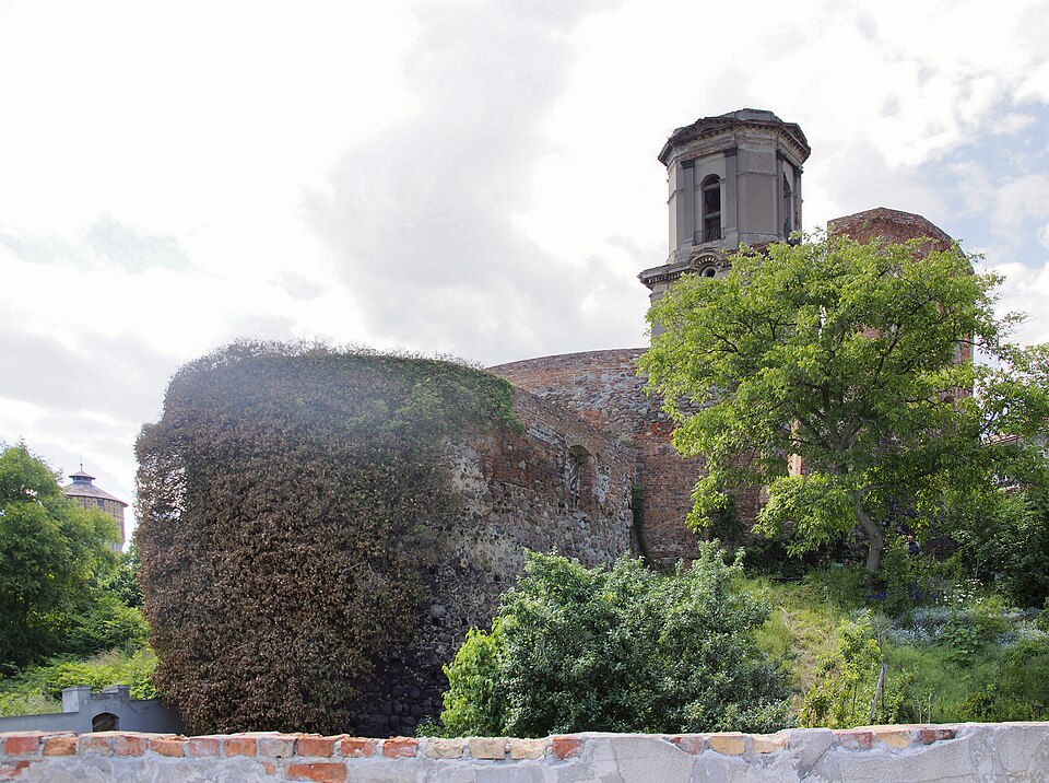
Zamek książęcy w Szprotawie – zamek, który znajdował się w Szprotawie, wzniesiony prawdopodobnie w II połowie XIII wieku, zniszczony podczas pożaru w 1672 roku.
Text: Wikipedia: Zamek Szprotawski (opening paragraph, possibly shortened), licensed under CC BY-SA 4.0. Contributors are listed in the article history. This text may be redistributed under the same terms.
Description available only in the original language for now.
Coordinates
51.56475, 15.53941

Coordinates of the feature; for paths and areas, these mark the centre, not a shooting position.
Navigation and sources
Imported data, not yet checked by a person. © OpenStreetMap (ODbL)