Water · imported, unverified
Geotop, lávový prúd s doskovitou odlučnosťou
waterfall
Žibritov · Banskobystrický kraj · Slovakia
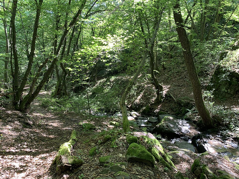
A geological site with water cascades in the incision of the stream Bebrava near Žibritov in the southeastern part of Štiavnické vrchy. The outcrop reveals an andesite lava flow with platy jointing along the route of an educational trail.
Text: naucnechodniky.eu (opening paragraph, possibly shortened), licensed under CC BY-SA 4.0. Contributors are listed in the article history. This text may be redistributed under the same terms.
Description machine-translated from the original text; help us fix any mistakes. Report an error
Coordinates
48.38693, 18.98419

Coordinates of the feature; for paths and areas, these mark the centre, not a shooting position.
Navigation and sources
Imported data, not yet checked by a person. © OpenStreetMap (ODbL)