Industrial sites · imported, unverified
Štola Zwergloch
Hybrálec · Kraj Vysočina · Czech Republic
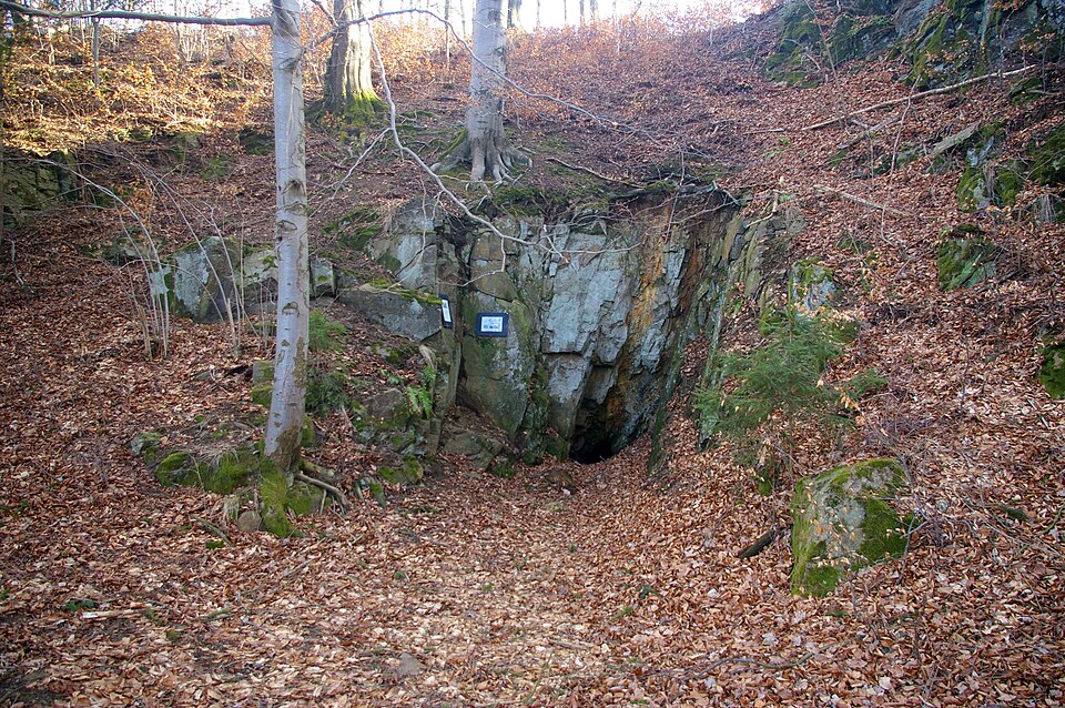
The adit follows a fault zone in heavily folded gneiss and is only about 16 meters long. Its height reaches up to three meters. At the end of the adit is an enlarged chamber measuring 6 x 3 meters. The adit is dry, with only the bottom of the cavern at the end being flooded.
Description machine-translated from the original text; help us fix any mistakes. Report an error
Coordinates
49.44454, 15.5458

Coordinates of the feature; for paths and areas, these mark the centre, not a shooting position.
Navigation and sources
Imported data, not yet checked by a person. © OpenStreetMap (ODbL)