Rock formations and nature · imported, unverified
Krásnohorská jaskyňa
cave
Krásnohorská Dlhá Lúka · Košický kraj · Slovakia
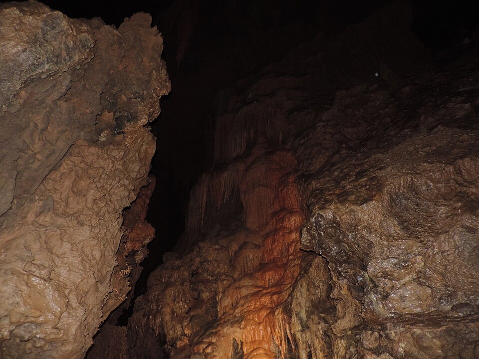
Krásnohorská jaskyňa is an outflow fluviokarst cave discovered by speleologists from Rožňava in 1964 after lowering the water level of the Buzgó resurgence. Its known length is 1,556 m. The tour route leads to the Kvapeľ rožňavských jaskyniarov, which at nearly 33 m is among the world's largest stalagmites. The trail is 450 m long and visitors return the same way.
Text: Wikipédia: Krásnohorská jaskyňa (opening paragraph, possibly shortened), licensed under CC BY-SA 4.0. Contributors are listed in the article history. This text may be redistributed under the same terms.
Description machine-translated from the original text; help us fix any mistakes. Report an error
Coordinates
48.61774, 20.58724

Coordinates of the feature; for paths and areas, these mark the centre, not a shooting position.
Navigation and sources
Imported data, not yet checked by a person. © OpenStreetMap (ODbL)