Water · imported, unverified
Siklawica
waterfall
Zakopane · województwo małopolskie · Poland
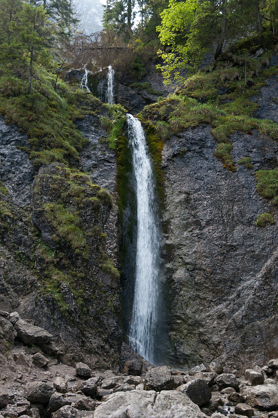
A waterfall on Strążyski Potok in the upper part of Dolina Strążyska in the Western Tatras, below the north face of Giewont. It consists of two main, nearly vertical cascades measuring 12 metres each (24 metres in total).
Text: Wikipedia: Siklawica (opening paragraph, possibly shortened), licensed under CC BY-SA 4.0. Contributors are listed in the article history. This text may be redistributed under the same terms.
Description machine-translated from the original text; help us fix any mistakes. Report an error
Coordinates
49.25917, 19.93024

Coordinates of the feature; for paths and areas, these mark the centre, not a shooting position.
Navigation and sources
Imported data, not yet checked by a person. © OpenStreetMap (ODbL)