Rock formations and nature · imported, unverified
Szelim-lyuk
cave
Tatabánya · Komárom-Esztergom megye · Hungary
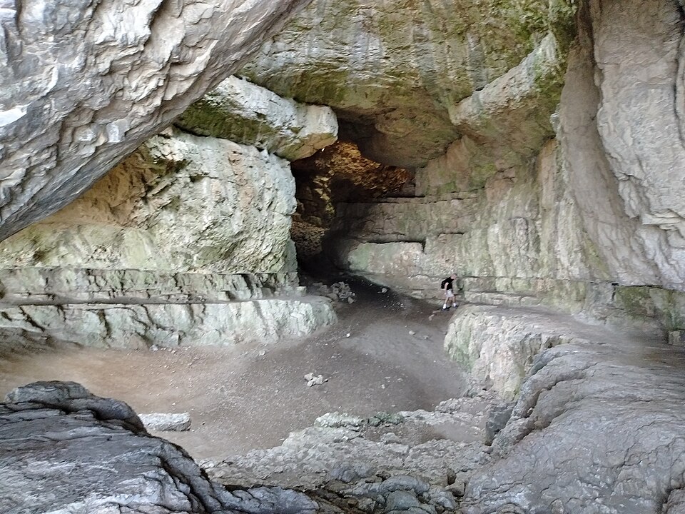
In the Gerecse mountains near Tatabánya, this karst cave opens at an altitude of 289 metres on the slope of Kő-hegy. The 45-metre-long and 14-metre-high cavity has four entrances and two surface shafts.
Text: Wikipédia: Szelim-lyuk (opening paragraph, possibly shortened), licensed under CC BY-SA 4.0. Contributors are listed in the article history. This text may be redistributed under the same terms.
Description machine-translated from the original text; help us fix any mistakes. Report an error
Coordinates
47.5903, 18.4069

Coordinates of the feature; for paths and areas, these mark the centre, not a shooting position.
Navigation and sources
Imported data, not yet checked by a person. © OpenStreetMap (ODbL)