Architecture · imported, unverified
Pustý hrad
castle
Sklené Teplice · Banskobystrický kraj · Slovakia
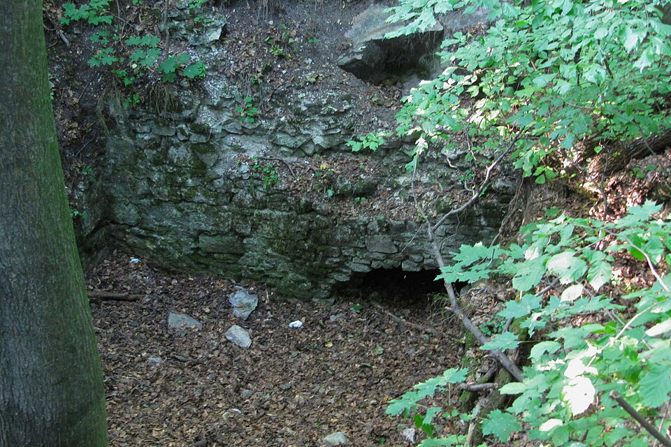
Pustý hrad is located west above the village of Sklené Teplice, also called hrad Teplica, Sklenoteplický hrad, or Červený hrad. It sits on a steep hill at an altitude of 629 m a.s.l. and its origin is unknown. In 1456, it was seized by Jiskra's troops. Damaged in 1471 in battles with Polish King Casimir, it was restored in 1489. The castle's decline is estimated to have occurred during the 17th century.
Text: Wikipédia: Pustý hrad (Sklené Teplice) (opening paragraph, possibly shortened), licensed under CC BY-SA 4.0. Contributors are listed in the article history. This text may be redistributed under the same terms.
Description machine-translated from the original text; help us fix any mistakes. Report an error
Coordinates
48.533, 18.84735

Coordinates of the feature; for paths and areas, these mark the centre, not a shooting position.
Navigation and sources
Imported data, not yet checked by a person. © OpenStreetMap (ODbL)