Architecture · imported, unverified
Limes: Dunakeszi Késő-római Kikötőerőd Kiállítás
castle
Dunakeszi · Pest megye · Hungary
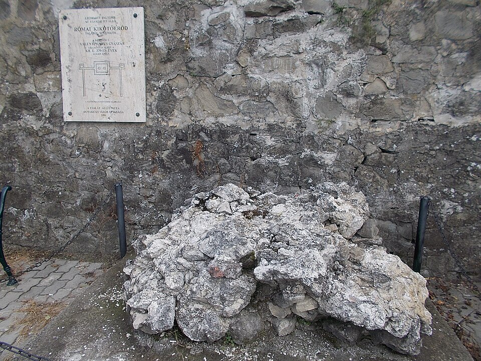
Római kori kikötőerőd állt Dunakeszin, a Duna sor 28–29–30. sz. lakóházainak telkén a 4. században. A Duna sor 28. sz. alatt magánmúzeum mutatja be az egykori erőd maradványait, illetve az itteni leletanyagot. A látogatáshoz előzetes bejelentkezés szükséges.
Text: Wikipédia: Római kori kikötőerőd (Dunakeszi) (opening paragraph, possibly shortened), licensed under CC BY-SA 4.0. Contributors are listed in the article history. This text may be redistributed under the same terms.
Description available only in the original language for now.
Coordinates
47.65808, 19.11971

Coordinates of the feature; for paths and areas, these mark the centre, not a shooting position.
Navigation and sources
Imported data, not yet checked by a person. © OpenStreetMap (ODbL)