Architecture · imported, unverified
Zamek Wołek
château
gmina Porąbka · województwo śląskie · Poland
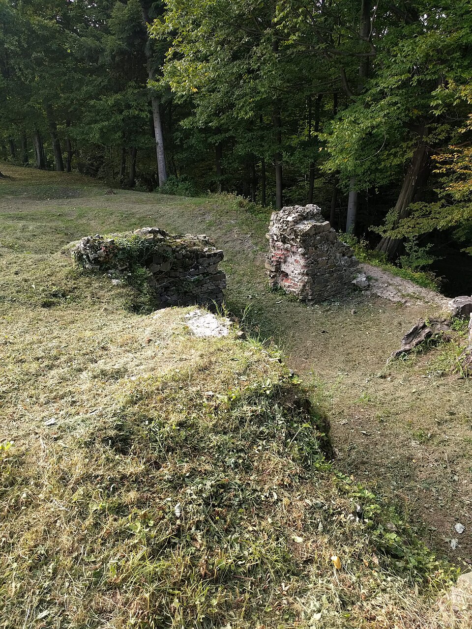
Zamek Wołek – ruiny średniowiecznego gotyckiego zamku na stokach Bujakowskiego Gronia w Beskidzie Małym, położone na lewym brzegu rzeki Soły w Kobiernicach. Zamek powstał w XIV wieku, a został zburzony około 1477 roku.
Text: Wikipedia: Zamek Wołek (opening paragraph, possibly shortened), licensed under CC BY-SA 4.0. Contributors are listed in the article history. This text may be redistributed under the same terms.
Description available only in the original language for now.
Coordinates
49.83115, 19.20309

Coordinates of the feature; for paths and areas, these mark the centre, not a shooting position.
Navigation and sources
Imported data, not yet checked by a person. © OpenStreetMap (ODbL)