Towns, cities and streets · imported, unverified
Mosty w Stańczykach
bridge
gmina Dubeninki · województwo warmińsko-mazurskie · Poland
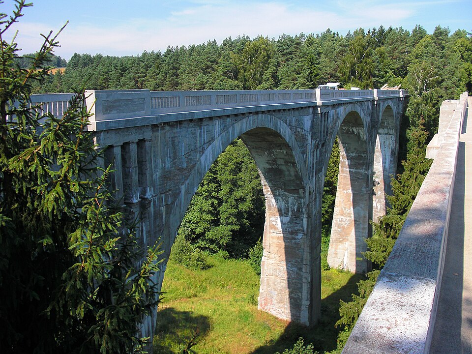
Mosty w Stańczykach – dwa mosty kolejowe z lat 1917–1918 w Stańczykach, w powiecie gołdapskim, wpisane do rejestru zabytków nieruchomych województwa warmińsko-mazurskiego. Są to elementy nieczynnej infrastruktury linii kolejowej łączącej Gołdap z Żytkiejmami. Czasami nazywane Akweduktami Puszczy Rominckiej. Mosty należą do najwyższych w Polsce. Konstrukcja jest 5-przęsłowa, długości 180 m, wysokości do 36,5 m.
Text: Wikipedia: Mosty w Stańczykach (opening paragraph, possibly shortened), licensed under CC BY-SA 4.0. Contributors are listed in the article history. This text may be redistributed under the same terms.
Description available only in the original language for now.
Coordinates
54.29707, 22.65523

Coordinates of the feature; for paths and areas, these mark the centre, not a shooting position.
Navigation and sources
Imported data, not yet checked by a person. © OpenStreetMap (ODbL)