Rock formations and nature · imported, unverified
Jaskinia W Diablej Górze
cave
Bukowno · województwo małopolskie · Poland
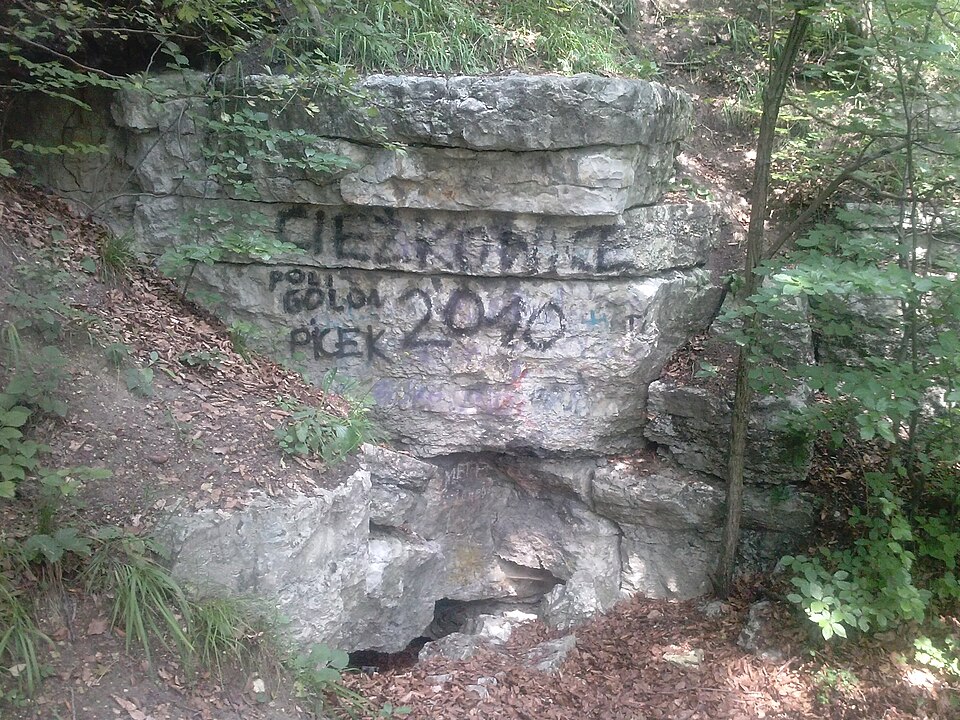
Jaskinia w Diablej Górze – znajdująca się na Wyżynie Śląskiej w Bukownie, w przysiółku Podlesie, na wzgórzu Diablej Górze, najdłuższa i najgłębsza jaskinia Wyżyny Śląskiej. Jaskinia pozioma o wąskich i niskich korytarzach o długości 107 m i głębokości 15 m z ekspozycją otworu: SE. Po raz pierwszy była wzmiankowana przez P. Przemyskiego w 1912 roku. Została zinwentaryzowana przez K. Kowalskiego w 1948 roku pod nr.
Text: Wikipedia: Jaskinia w Diablej Górze (opening paragraph, possibly shortened), licensed under CC BY-SA 4.0. Contributors are listed in the article history. This text may be redistributed under the same terms.
Description available only in the original language for now.
Coordinates
50.241, 19.46151

Coordinates of the feature; for paths and areas, these mark the centre, not a shooting position.
Navigation and sources
Imported data, not yet checked by a person. © OpenStreetMap (ODbL)