Architecture · imported, unverified
Michalšperk
ruins
Chodová Planá · Plzeňský kraj · Czech Republic
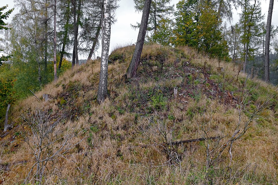
In the Lazurový vrch nature reserve, castle Michalšperk once stood above the confluence of Kosí potok and Jilmový potok. Today, only fragments of castle walls remain. Founded in the mid-14th century, it featured an elliptical ground plan measuring approximately 40 x 25 meters.
Description machine-translated from the original text; help us fix any mistakes. Report an error
Coordinates
49.91586, 12.77675

Coordinates of the feature; for paths and areas, these mark the centre, not a shooting position.
Navigation and sources
Imported data, not yet checked by a person. © OpenStreetMap (ODbL)