Landscapes and viewpoints · imported, unverified
Růžovský vrch
peak
Růžová · Ústecký kraj · Czech Republic
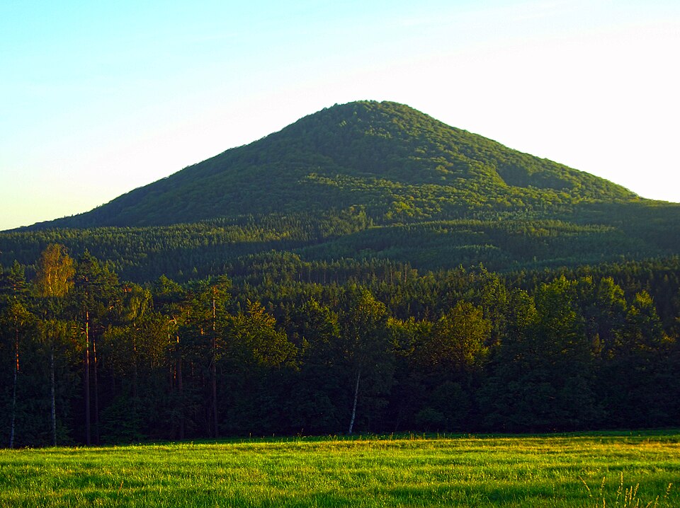
Růžovský vrch (German: Rosenberg) or Růžák, also called Děčínská Fudžijama, is a prominent basalt massif and national nature reserve 2.5 km southeast of Růžová in Děčín District. It lies in the southernmost tip of České Švýcarsko National Park and is its highest peak. Formed by Tertiary volcanism, it forms a striking landscape landmark.
Text: Wikipedie: Růžovský vrch (opening paragraph, possibly shortened), licensed under CC BY-SA 4.0. Contributors are listed in the article history. This text may be redistributed under the same terms.
Description machine-translated from the original text; help us fix any mistakes. Report an error
Coordinates
50.83273, 14.33025

Coordinates of the feature; for paths and areas, these mark the centre, not a shooting position.
Navigation and sources
Imported data, not yet checked by a person. © OpenStreetMap (ODbL)