Landscapes and viewpoints · imported, unverified
Kriváň
peak
Vysoké Tatry · Prešovský kraj · Slovakia
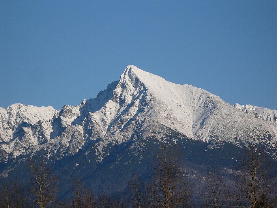
Kriváň (2,494.7 m a.s.l.; Pol. Krywań, Ger. Kriwan, Hun. Kriván) is a High Tatras peak above Podbanské, about 22 km northeast of Liptovský Mikuláš. It sits at the end of a ridge branching from Čubrina on the main crest. One of Slovakia's highest peaks, it has served since the 19th century as an unofficial symbol of Slovak freedom and Slavic unity.
Text: Wikipédia: Kriváň (vrch v Tatrách) (opening paragraph, possibly shortened), licensed under CC BY-SA 4.0. Contributors are listed in the article history. This text may be redistributed under the same terms.
Description machine-translated from the original text; help us fix any mistakes. Report an error
Coordinates
49.16283, 20.00005

Coordinates of the feature; for paths and areas, these mark the centre, not a shooting position.
Navigation and sources
Imported data, not yet checked by a person. © OpenStreetMap (ODbL)