Landscapes and viewpoints · imported, unverified
Gerlachovský štít
peak
Vysoké Tatry · Prešovský kraj · Slovakia
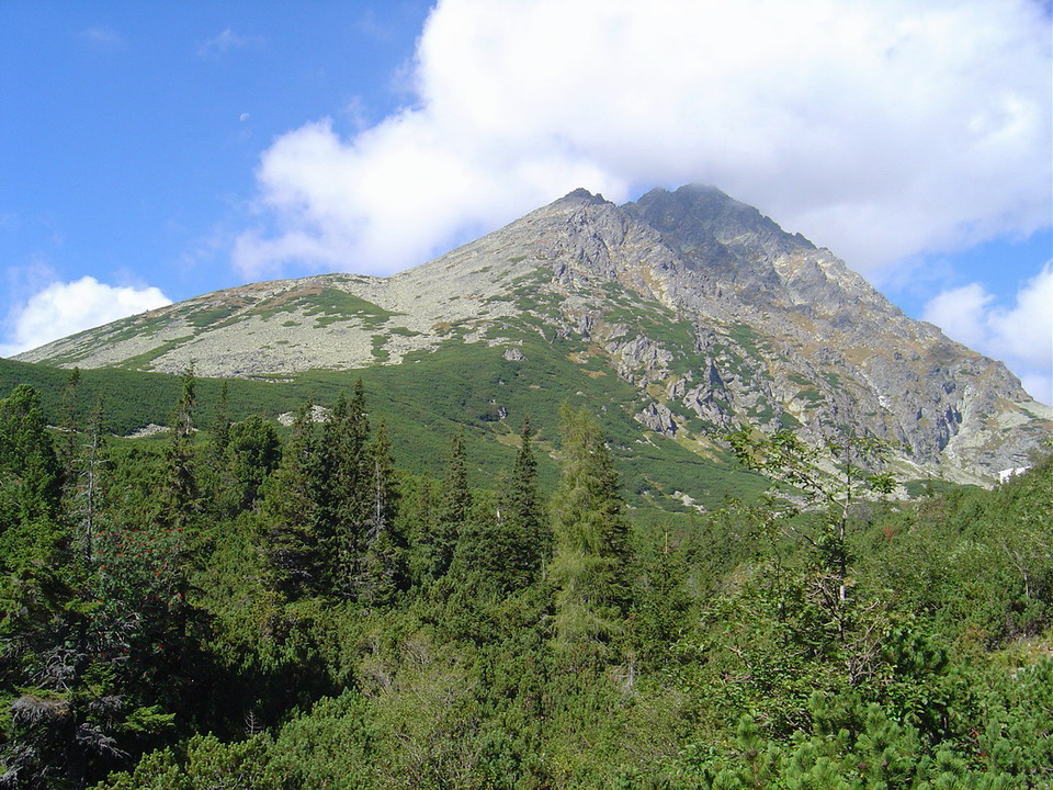
Gerlachovský štít (colloquially Gerlach; Polish: Gerlach; Hungarian: Gerlachfalvi csúcs, Gerlafalvi csúcs) is the highest peak and one of the largest massifs of the Tatras, Slovakia, and the Carpathians. Located on the southeastern spur of Zadný Gerlach, separated by Gerlachovské sedlo, its ridge continues to Kotlový štít, where it branches into the famous Gerlachovský kotol.
Text: Wikipédia: Gerlachovský štít (opening paragraph, possibly shortened), licensed under CC BY-SA 4.0. Contributors are listed in the article history. This text may be redistributed under the same terms.
Description machine-translated from the original text; help us fix any mistakes. Report an error
Coordinates
49.16403, 20.13406

Coordinates of the feature; for paths and areas, these mark the centre, not a shooting position.
Navigation and sources
Imported data, not yet checked by a person. © OpenStreetMap (ODbL)