Landscapes and viewpoints · imported, unverified
Minčol
peak
Dolný Kubín · Žilinský kraj · Slovakia
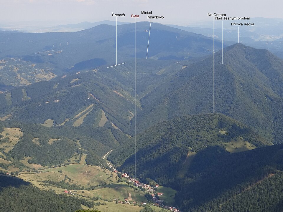
Minčol (1,395.9 m a.s.l.) is the highest peak of Oravská Magura in Slovakia. The western and northern slopes belong to the Národná prírodná rezervácia Minčol, and buffer zones of Národný park Malá Fatra and CHKO Horná Orava also reach here. The E3 International European long distance path passes through the area.
Text: Wikipédia: Minčol (vrch v Oravskej Magure) (opening paragraph, possibly shortened), licensed under CC BY-SA 4.0. Contributors are listed in the article history. This text may be redistributed under the same terms.
Description machine-translated from the original text; help us fix any mistakes. Report an error
Coordinates
49.27182, 19.24851

Coordinates of the feature; for paths and areas, these mark the centre, not a shooting position.
Navigation and sources
Imported data, not yet checked by a person. © OpenStreetMap (ODbL)