Industrial sites · imported, unverified
Brama Gwarków
gate
gmina Zbrosławice · województwo śląskie · Poland
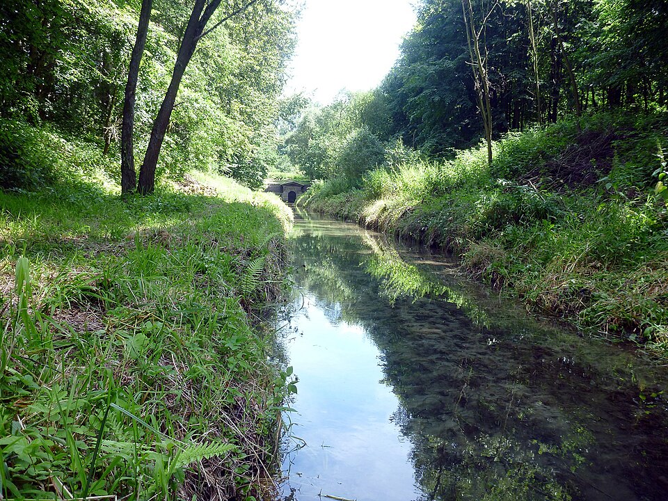
Sztolnia Czarnego Pstrąga – 600-metrowy fragment Głębokiej Sztolni „Fryderyk” (niem. Tiefer Friedrich-Stollen), najdłuższej w rejonie Tarnowskich Gór sztolni odwadniającej, należącej do założonej w 1784 roku królewskiej kopalni rudy ołowiowo-srebrowej „Fryderyk” (niem. Königliche Friedrichsgrube).
Text: Wikipedia: Sztolnia Czarnego Pstrąga (opening paragraph, possibly shortened), licensed under CC BY-SA 4.0. Contributors are listed in the article history. This text may be redistributed under the same terms.
Description available only in the original language for now.
Coordinates
50.42951, 18.78224

Coordinates of the feature; for paths and areas, these mark the centre, not a shooting position.
Navigation and sources
Imported data, not yet checked by a person. © OpenStreetMap (ODbL)