Landscapes and viewpoints · imported, unverified
Kiczory
peak
Wisła · województwo śląskie · Poland
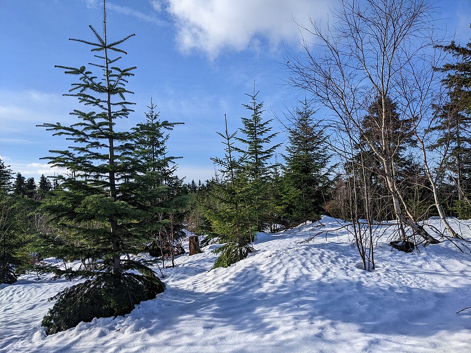
Kiczory (cz. Kyčera, 989 m n.p.m.) – drugi co do wysokości szczyt Pasma Stożka i Czantorii w Beskidzie Śląskim. Znajduje się w głównym grzbiecie tego pasma, na wschód od Kyrkawicy, w miejscu, w którym odchodzi od niego w kierunku południowo-wschodnim boczny grzbiet, schodzący przez Sałasz Dupne i Młodą Górę nad Olzę w Istebnej.
Text: Wikipedia: Kiczory (szczyt) (opening paragraph, possibly shortened), licensed under CC BY-SA 4.0. Contributors are listed in the article history. This text may be redistributed under the same terms.
Description available only in the original language for now.
Coordinates
49.59532, 18.83908

Coordinates of the feature; for paths and areas, these mark the centre, not a shooting position.
Navigation and sources
Imported data, not yet checked by a person. © OpenStreetMap (ODbL)