Landscapes and viewpoints · imported, unverified
Hármashatár-hegy
peak
Budapest · Hungary
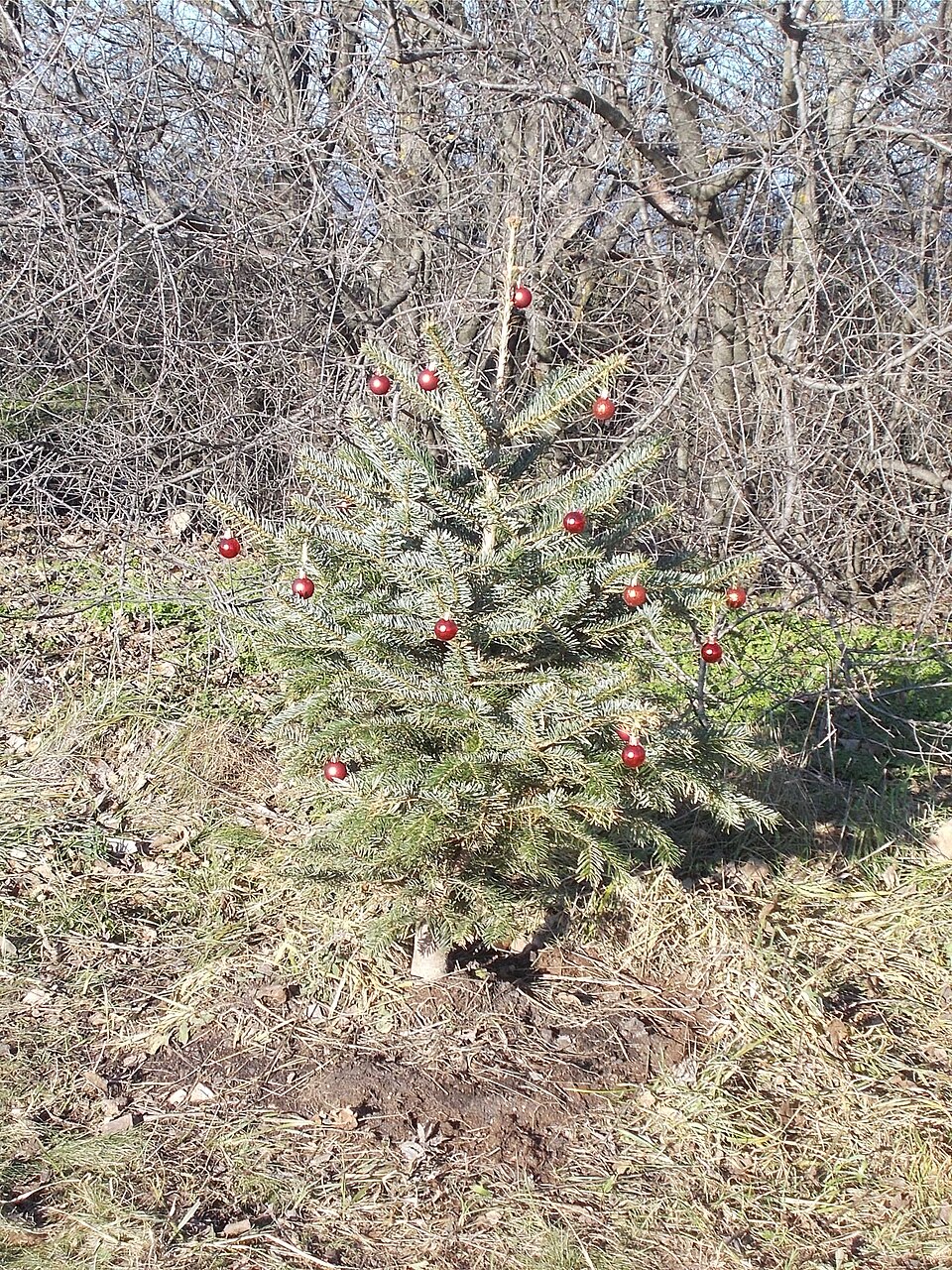
A Hármashatár-hegy (rövidítve HHH vagy 3H) a Budai-hegység északi-északkeleti részében az Ördög-árok, a Duna völgye, a Solymári-völgy és a Pesthidegkúti-medence között elhelyezkedő rögcsoport központi, 495 méter magas orma. Környékének nagy része védett, Natura 2000 vagy országos védettségű terület. Erdősége a Pilisi Parkerdő Zrt. kezelése alatt áll. Közigazgatásilag Budapest II. és III.
Text: Wikipédia: Hármashatár-hegy (opening paragraph, possibly shortened), licensed under CC BY-SA 4.0. Contributors are listed in the article history. This text may be redistributed under the same terms.
Description available only in the original language for now.
Coordinates
47.555, 18.99845

Coordinates of the feature; for paths and areas, these mark the centre, not a shooting position.
Navigation and sources
Imported data, not yet checked by a person. © OpenStreetMap (ODbL)