Rock formations and nature · imported, unverified
Warownia Górna
rock
gmina Ciężkowice · województwo małopolskie · Poland
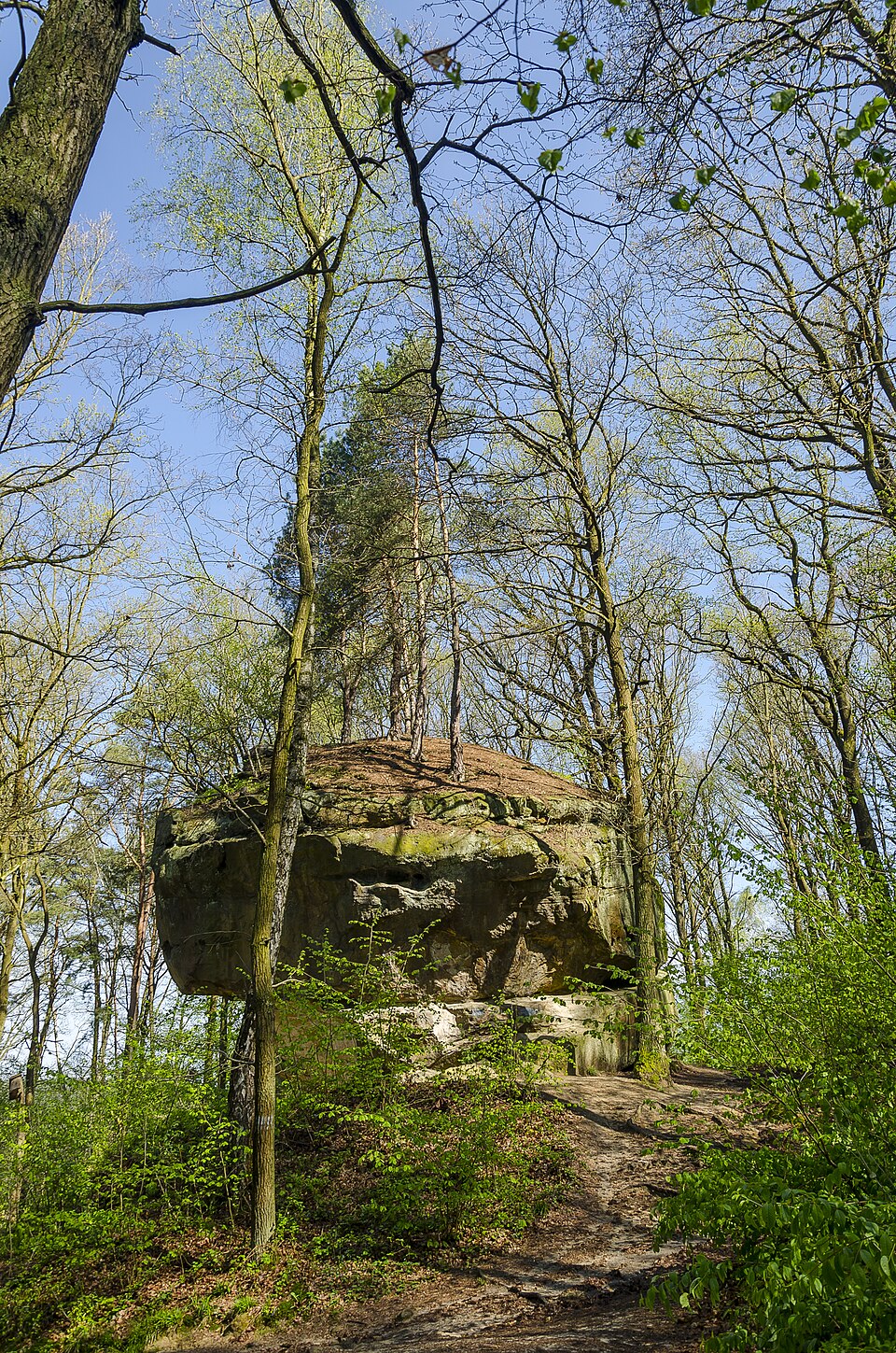
Warownia Dolna – jedna ze skał w rezerwacie przyrody Skamieniałe Miasto na Pogórzu Ciężkowickim. Znajduje się w Ciężkowicach, a dojście do niej prowadzi od parkingu znajdującego się około 1 km od centrum Ciężkowic, po lewej stronie drogi wojewódzkiej nr 977 z Tarnowa do Gorlic. Przy parkingu znajduje się miejsce biwakowe dla turystów, bufet, tablice informacyjne, skała Grunwald i Źródło Zdrowej Wody.
Text: Wikipedia: Warownia Dolna (opening paragraph, possibly shortened), licensed under CC BY-SA 4.0. Contributors are listed in the article history. This text may be redistributed under the same terms.
Description available only in the original language for now.
Coordinates
49.77789, 20.96532

Coordinates of the feature; for paths and areas, these mark the centre, not a shooting position.
Navigation and sources
Imported data, not yet checked by a person. © OpenStreetMap (ODbL)