Architecture · imported, unverified
Dwór z XVIII / XIX w.
manor house
gmina Wolin · województwo zachodniopomorskie · Poland
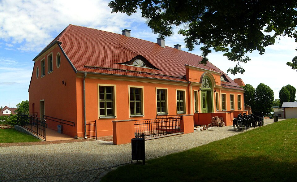
Dwór w Wolinie – barokowy, zabytkowy, dwór w Wolinie. Budynek znajduje się na dziedzińcu urzędu miejskiego przy ulicy Zamkowej 23. Obecnie znajduje się tu Kulturalne Centrum Współpracy Międzynarodowej.
Text: Wikipedia: Dwór w Wolinie (opening paragraph, possibly shortened), licensed under CC BY-SA 4.0. Contributors are listed in the article history. This text may be redistributed under the same terms.
Description available only in the original language for now.
Coordinates
53.8447, 14.61687

Coordinates of the feature; for paths and areas, these mark the centre, not a shooting position.
Navigation and sources
Imported data, not yet checked by a person. © OpenStreetMap (ODbL)