Landscapes and viewpoints · imported, unverified
Lysá hora (Rokytnice nad Jizerou)
peak
Rokytnice nad Jizerou · Liberecký kraj · Czech Republic
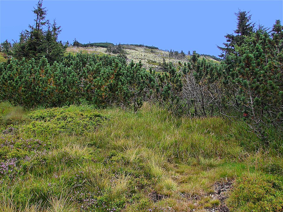
Lysá hora (German: Kahleberg) is a 1344 m high peak in the Český hřbet area of Krkonoše. A chairlift runs from Rokytnice nad Jizerou up to 1310 m, where its upper station is located; it operates only in winter. In exceptionally clear conditions, Lysá hora and the Krkonoše ridge can even be spotted from Praha, 120 km away.
Text: Wikipedie: Lysá hora (Krkonoše) (opening paragraph, possibly shortened), licensed under CC BY-SA 4.0. Contributors are listed in the article history. This text may be redistributed under the same terms.
Description machine-translated from the original text; help us fix any mistakes. Report an error
Coordinates
50.75388, 15.50975

Coordinates of the feature; for paths and areas, these mark the centre, not a shooting position.
Navigation and sources
Imported data, not yet checked by a person. © OpenStreetMap (ODbL)