Architecture · imported, unverified
Solymos vára
ruins
Erdőhorváti · Borsod-Abaúj-Zemplén megye · Hungary
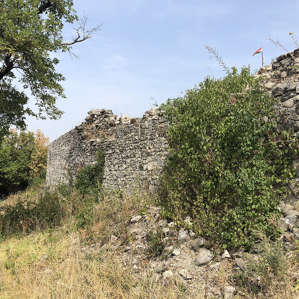
Solymos vára romos állapotban fennmaradt középkori vár volt a mai Borsod-Abaúj-Zemplén megyében, a Zempléni-hegységben, Erdőhorváti területén. Bár gyakran tévesen említik komlóskai várként, valójában az a 426 méteres magaslat, amelyre épült, Erdőhorváti területéhez tartozott már a XVIII. és XIX. századi térképek szerint is, és így van ez ma is.
Text: Wikipédia: Solymos vára (Magyarország) (opening paragraph, possibly shortened), licensed under CC BY-SA 4.0. Contributors are listed in the article history. This text may be redistributed under the same terms.
Description available only in the original language for now.
Coordinates
48.32912, 21.45318

Coordinates of the feature; for paths and areas, these mark the centre, not a shooting position.
Navigation and sources
Imported data, not yet checked by a person. © OpenStreetMap (ODbL)