Landscapes and viewpoints · imported, unverified
Łabski Szczyt
peak
Piechowice · województwo dolnośląskie · Poland
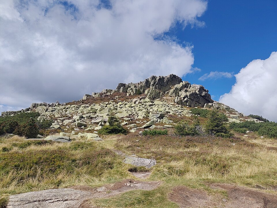
Łabski Szczyt (czes. Violík lub Labský štít, niem. Veilchenstein lub Veilchenspitze, 1471 m n.p.m.) – szczyt na Głównym Grzbiecie Karkonoszy (wierzchowinie), w zachodniej części Śląskiego Grzbietu, pomiędzy Szrenicą na zachodzie a Śnieżnymi Kotłami na wschodzie. Jest czwartym szczytem w polskiej części Karkonoszy pod względem wysokości, po Śnieżce, Smogorni i Wielkim Szyszaku. Zbudowany z granitu karkonoskiego.
Text: Wikipedia: Łabski Szczyt (opening paragraph, possibly shortened), licensed under CC BY-SA 4.0. Contributors are listed in the article history. This text may be redistributed under the same terms.
Description available only in the original language for now.
Coordinates
50.78045, 15.54564

Coordinates of the feature; for paths and areas, these mark the centre, not a shooting position.
Navigation and sources
Imported data, not yet checked by a person. © OpenStreetMap (ODbL)