Landscapes and viewpoints · imported, unverified
Smědavská hora
peak
Hejnice · Liberecký kraj · Czech Republic
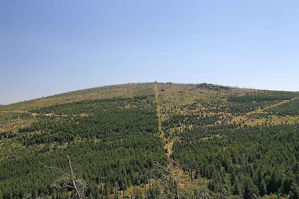
Smědavská hora (German: Wittigberg) is a 1083.9 m high mountain on a spur of Hejnický hřeben in Jizerské hory. The mountain is likely named after the Smědá River, one of whose springs lies in the peat bogs beneath the southern slope. Below lies the Smědava mountain enclave and chalet. About 700 metres southeast lies the Vlčí louka Natural Monument.
Text: Wikipedie: Smědavská hora (opening paragraph, possibly shortened), licensed under CC BY-SA 4.0. Contributors are listed in the article history. This text may be redistributed under the same terms.
Description machine-translated from the original text; help us fix any mistakes. Report an error
Coordinates
50.85043, 15.24429

Coordinates of the feature; for paths and areas, these mark the centre, not a shooting position.
Navigation and sources
Imported data, not yet checked by a person. © OpenStreetMap (ODbL)