Landscapes and viewpoints · imported, unverified
Velký Blaník
peak
Louňovice pod Blaníkem · Středočeský kraj · Czech Republic
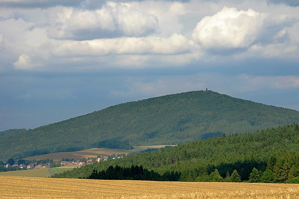
The memorable mountain Velký Blaník (638 m a.s.l.) is the centre and highest point of the Podblanicko region, defined as its immediate surroundings. Another notable point is Malý Blaník (580 metres). Both hills are famous for their rich history and legends of the Blaník knights, who sleep beneath Blaník alongside Duke Wenceslas.
Text: Wikipedie: Blaník (opening paragraph, possibly shortened), licensed under CC BY-SA 4.0. Contributors are listed in the article history. This text may be redistributed under the same terms.
Description machine-translated from the original text; help us fix any mistakes. Report an error
Coordinates
49.64181, 14.8736

Coordinates of the feature; for paths and areas, these mark the centre, not a shooting position.
Navigation and sources
Imported data, not yet checked by a person. © OpenStreetMap (ODbL)