Landscapes and viewpoints · imported, unverified
Ślęża
peak
gmina Sobótka · województwo dolnośląskie · Poland
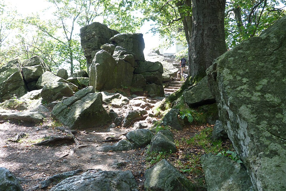
Ślęża /ˈɕlɛ̃ʐa/ (łac. Silensi, w latach 1945–1954 Sobótka, niem. Zobtenberg – dokładne tłumaczenie: Góra Sobótka) – najwyższy szczyt Masywu Ślęży i całego Przedgórza Sudeckiego, wznoszący się na wysokość 717,5 m n.p.m. Mimo niewielkiej wysokości bezwzględnej, masyw ma imponujący wygląd ze względu na znaczną wysokość względną (ponad 500 m).
Text: Wikipedia: Ślęża (opening paragraph, possibly shortened), licensed under CC BY-SA 4.0. Contributors are listed in the article history. This text may be redistributed under the same terms.
Description available only in the original language for now.
Coordinates
50.86409, 16.7075

Coordinates of the feature; for paths and areas, these mark the centre, not a shooting position.
Navigation and sources
Imported data, not yet checked by a person. © OpenStreetMap (ODbL)