Landscapes and viewpoints · imported, unverified
Devět skal
peak
Křižánky · Kraj Vysočina · Czech Republic
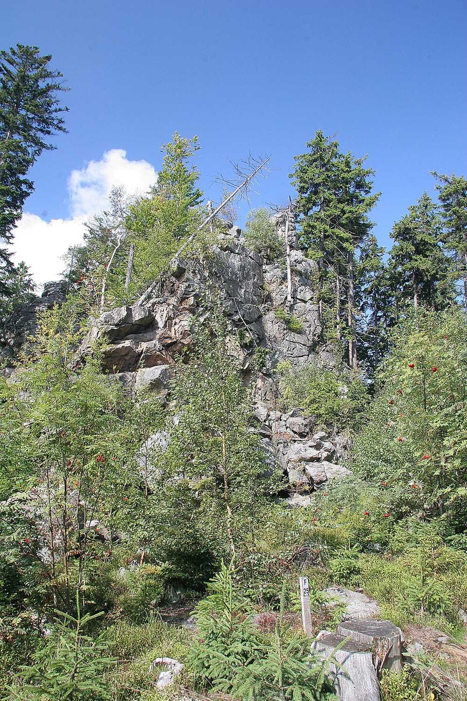
Devět skal (836 m) is the highest peak of Žďárské vrchy and the second highest peak of the entire Českomoravská vrchovina region (after Javořice). It is located in the Moravské Křižánky cadastre, 3 km southwest of Křižánky and 4.5 km south of Svratka in Žďár nad Sázavou District, Vysočina Region.
Text: Wikipedie: Devět skal (opening paragraph, possibly shortened), licensed under CC BY-SA 4.0. Contributors are listed in the article history. This text may be redistributed under the same terms.
Description machine-translated from the original text; help us fix any mistakes. Report an error
Coordinates
49.67073, 16.03224

Coordinates of the feature; for paths and areas, these mark the centre, not a shooting position.
Navigation and sources
Imported data, not yet checked by a person. © OpenStreetMap (ODbL)