Landscapes and viewpoints · imported, unverified
Skrajna Turnia
peak
Zakopane · województwo małopolskie · Poland
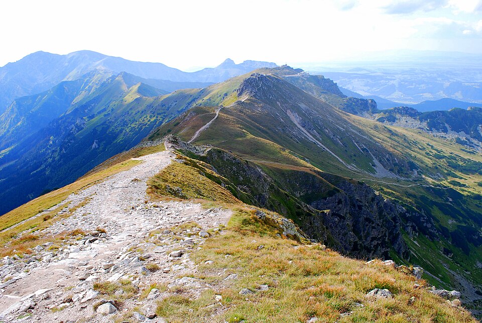
Skrajna Turnia (słow. Krajná kopa, niem. Randturm, węg. Szélső-torony, 2097 m n.p.m.) – pierwszy od zachodu szczyt w Grani Tatr Wysokich (najbardziej na zachód położonym szczytem Tatr Wysokich jest Brdarowa Dzwonnica), położony pomiędzy przełęczą Liliowe a Skrajną Przełęczą. Następnym szczytem w tym grzbiecie w kierunku na wschód jest Pośrednia Turnia, a potem Świnica.
Text: Wikipedia: Skrajna Turnia (opening paragraph, possibly shortened), licensed under CC BY-SA 4.0. Contributors are listed in the article history. This text may be redistributed under the same terms.
Description available only in the original language for now.
Coordinates
49.22316, 19.99855

Coordinates of the feature; for paths and areas, these mark the centre, not a shooting position.
Navigation and sources
Imported data, not yet checked by a person. © OpenStreetMap (ODbL)