Landscapes and viewpoints · imported, unverified
Donas
peak
Gdynia · województwo pomorskie · Poland
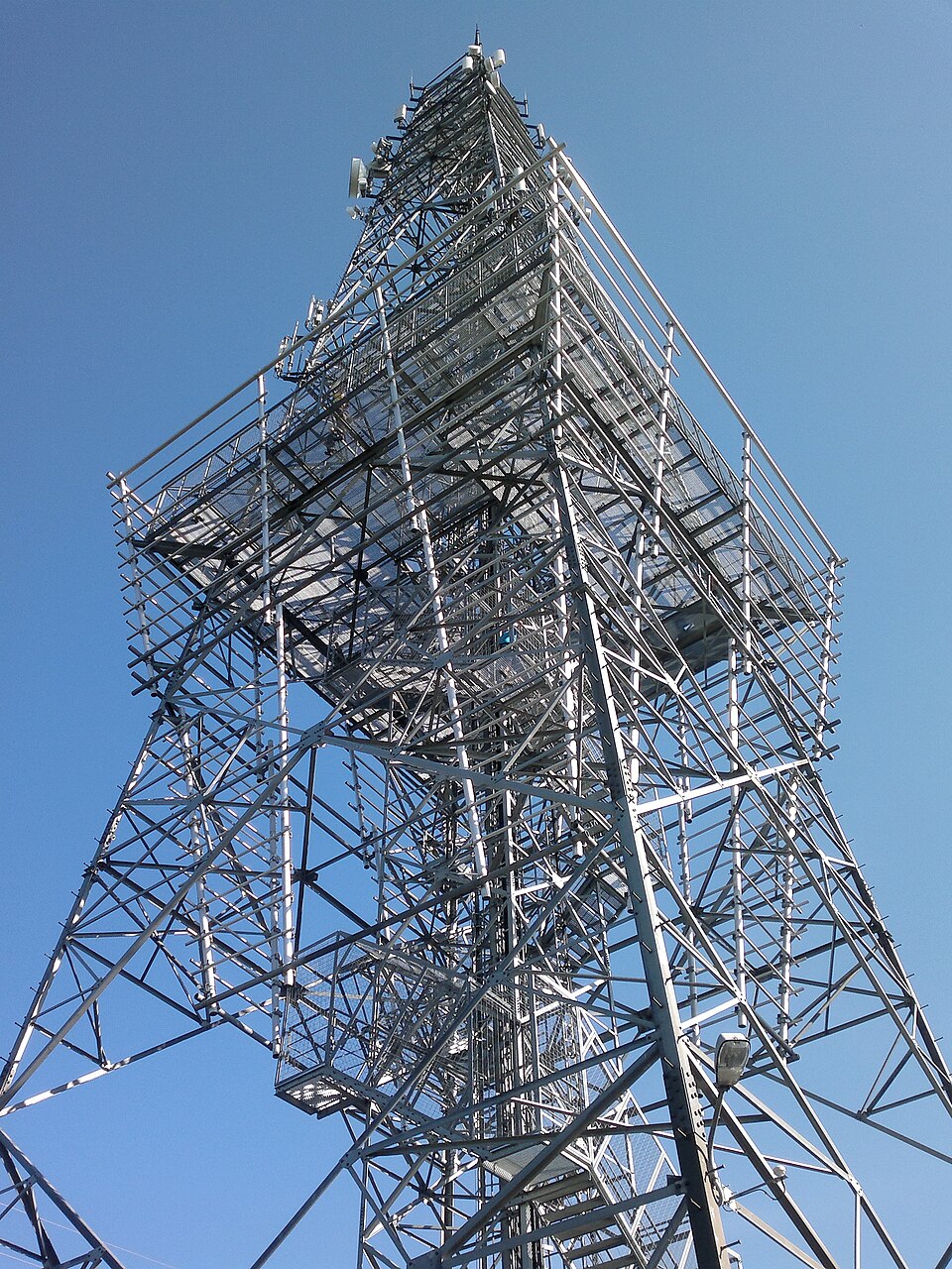
Donas – wzgórze o wysokości 206,5 m n.p.m. na Pojezierzu Kaszubskim, będące najwyżej położonym punktem Gdyni, w dzielnicy Dąbrowa. Jest to najwyższe wzniesienie moreny czołowej w mikroregionie Moreny Chwaszczyńskiej. Wzgórze ma dwa wierzchołki: wyższy zachodni o wysokości 206,5 m, całkowicie zalesiony oraz niższy wschodni (z wieżą telekomunikacyjną) o wysokości 205,6 m.
Text: Wikipedia: Donas (opening paragraph, possibly shortened), licensed under CC BY-SA 4.0. Contributors are listed in the article history. This text may be redistributed under the same terms.
Description available only in the original language for now.
Coordinates
54.46936, 18.43607

Coordinates of the feature; for paths and areas, these mark the centre, not a shooting position.
Navigation and sources
Imported data, not yet checked by a person. © OpenStreetMap (ODbL)