Landscapes and viewpoints · imported, unverified
Veli bej tornya
viewpoint
Budapest · Hungary
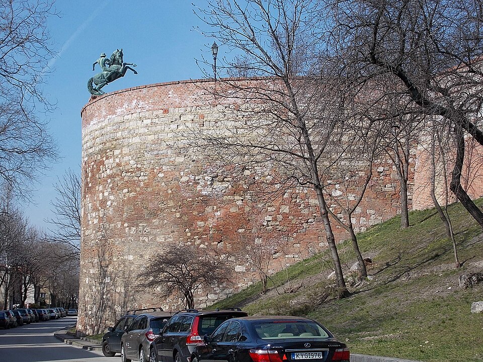
Veli bej tornya a budai várnegyed nyugati erődrendszerének egyik bástyája, 1570 körül épülhetett. Török neve Veli bej kuleszi. Nevét építtetőjéről kapta, aki Szokollu Musztafa budai pasa idején hatvani szandzsákbej volt, és Budán számos alapítványa és építkezése ismert. Eredetileg ebben a rondellában is voltak kazamaták. Tervezték, hogy a 18. században átépítik, de erre nem került sor.
Text: Wikipédia: Veli bej tornya (opening paragraph, possibly shortened), licensed under CC BY-SA 4.0. Contributors are listed in the article history. This text may be redistributed under the same terms.
Description available only in the original language for now.
Coordinates
47.50225, 19.02903

Coordinates of the feature; for paths and areas, these mark the centre, not a shooting position.
Navigation and sources
Imported data, not yet checked by a person. © OpenStreetMap (ODbL)