Landscapes and viewpoints · imported, unverified
Chełmiec
peak
Szczawno-Zdrój · województwo dolnośląskie · Poland
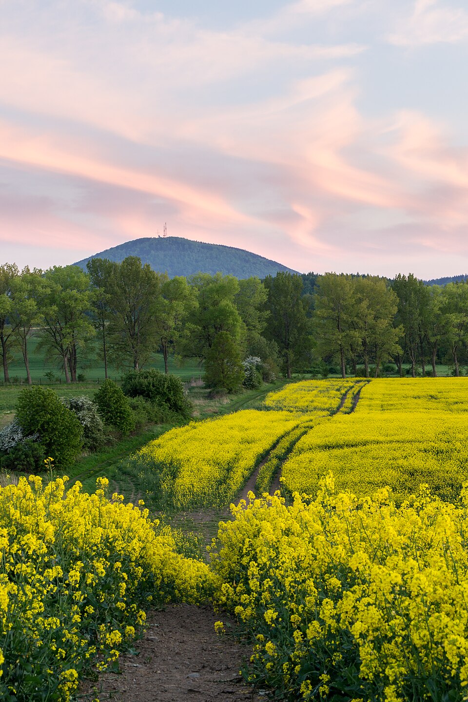
Chełmiec (niem. Hochwald) – szczyt górski o wysokości 850 m n.p.m., wchodzący w skład Masywu Chełmca, będący częścią Gór Wałbrzyskich (Sudety Środkowe), wznoszącym się bezpośrednio nad okolicami Wałbrzycha. Jest najwyższym punktem w granicach administracyjnych Szczawna-Zdroju.
Text: Wikipedia: Chełmiec (szczyt) (opening paragraph, possibly shortened), licensed under CC BY-SA 4.0. Contributors are listed in the article history. This text may be redistributed under the same terms.
Description available only in the original language for now.
Coordinates
50.77955, 16.21097

Coordinates of the feature; for paths and areas, these mark the centre, not a shooting position.
Navigation and sources
Imported data, not yet checked by a person. © OpenStreetMap (ODbL)