Landscapes and viewpoints · imported, unverified
Eris
viewpoint
gmina Mirsk · województwo dolnośląskie · Poland
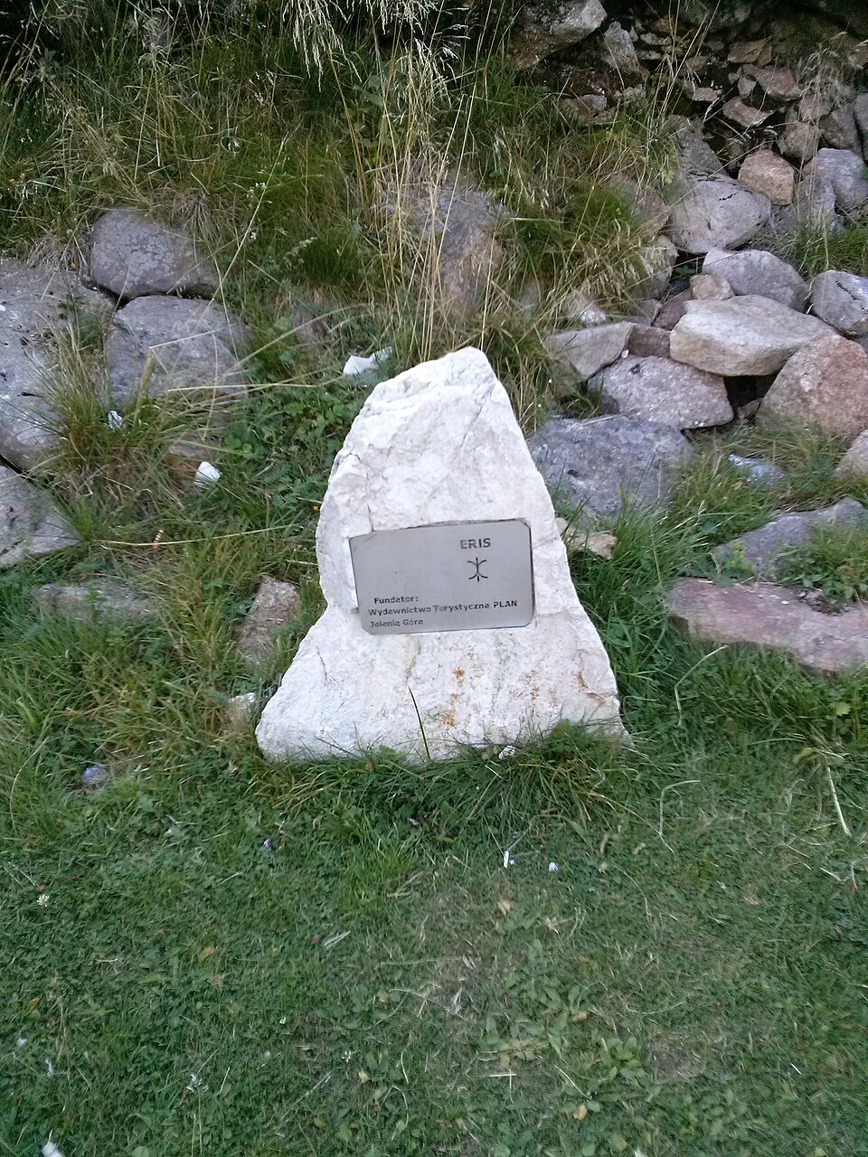
Eris (symbol: ) – planeta karłowata, jeden z obiektów dysku rozproszonego. Eris została odkryta 5 stycznia 2005 roku na zdjęciach, które wykonano 21 października 2003 roku. Odkrycie tego obiektu ogłoszono 29 lipca 2005. Odkrywcy nadali jej nieoficjalną nazwę „Xena”. 13 września 2006 roku uzyskała stałą nazwę Eris, od imienia greckiej bogini niezgody.
Text: Wikipedia: (136199) Eris (opening paragraph, possibly shortened), licensed under CC BY-SA 4.0. Contributors are listed in the article history. This text may be redistributed under the same terms.
Description available only in the original language for now.
Coordinates
50.89162, 15.30956

Coordinates of the feature; for paths and areas, these mark the centre, not a shooting position.
Navigation and sources
Imported data, not yet checked by a person. © OpenStreetMap (ODbL)