Landscapes and viewpoints · imported, unverified
Turská skala
peak
Turie · Žilinský kraj · Slovakia
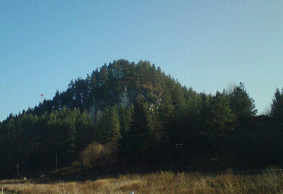
Turská skala or Hrádok is a natural monument located in Žilinská kotlina at the confluence of Rajčanka and Turiansky potok. It belongs to the cadastral area of the municipality of Turie in the district of Žilina. It was declared in 1982 by resolution of the council of ONV Žilina no. 10/1982 of 20 October 1982, effective from 1. 11. 1982 and amended in 2004. The area with the 4th level of protection is 4.38 ha, without a buffer zone.
Text: Wikipédia: Turská skala (opening paragraph, possibly shortened), licensed under CC BY-SA 4.0. Contributors are listed in the article history. This text may be redistributed under the same terms.
Description machine-translated from the original text; help us fix any mistakes. Report an error
Coordinates
49.1468, 18.73174

Coordinates of the feature; for paths and areas, these mark the centre, not a shooting position.
Navigation and sources
Imported data, not yet checked by a person. © OpenStreetMap (ODbL)