Landscapes and viewpoints · imported, unverified
Kálvária domb
peak
Tata · Komárom-Esztergom megye · Hungary
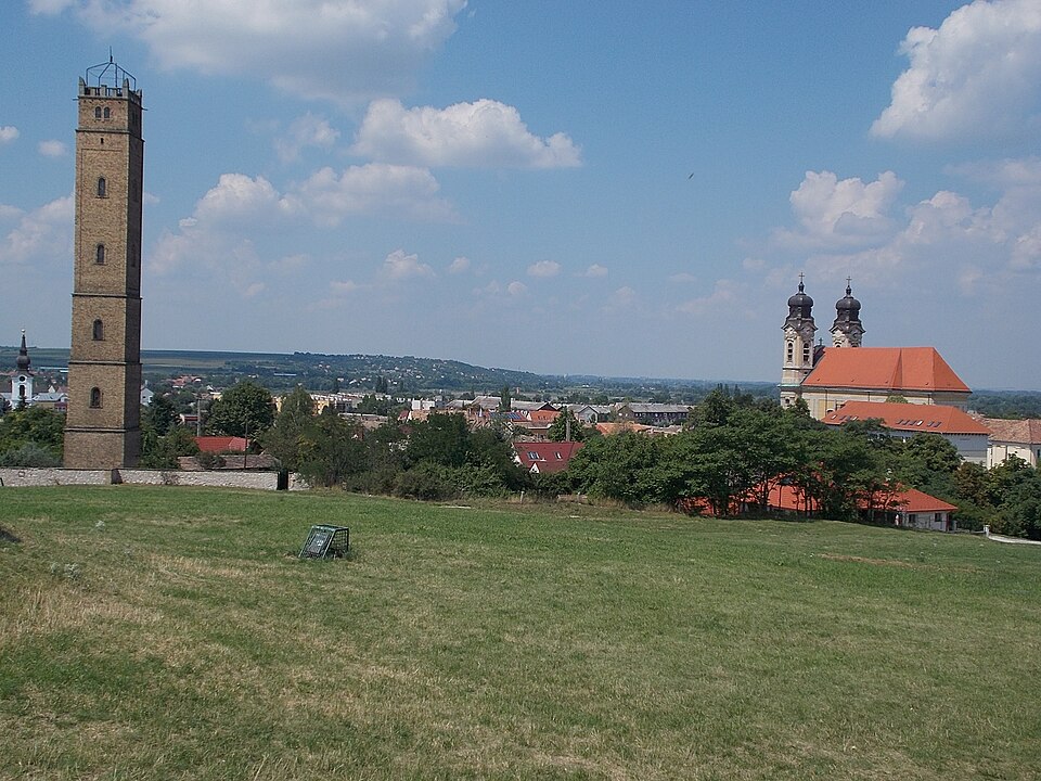
Kálvária-domb, Tatán a Kocsi utca mellett található domb, mely 166 méteres tengerszint feletti magasságával a város legmagasabb pontja. 1958 óta országos jelentőségű természetvédelmi terület. Az itt található ősmaradványok (az üledékes kőzetekben található növényi maradványok) kutatásában kiváló eredményeket ért el a paleobotanikus Skoflek István (gyűjteményét a tatai Kuny Domokos Múzeum őrzi).
Text: Wikipédia: Tatai Kálvária-domb Természetvédelmi Terület (opening paragraph, possibly shortened), licensed under CC BY-SA 4.0. Contributors are listed in the article history. This text may be redistributed under the same terms.
Description available only in the original language for now.
Coordinates
47.63959, 18.31555

Coordinates of the feature; for paths and areas, these mark the centre, not a shooting position.
Navigation and sources
Imported data, not yet checked by a person. © OpenStreetMap (ODbL)