Landscapes and viewpoints · imported, unverified
Erdélyi bástya
viewpoint
Budapest · Hungary
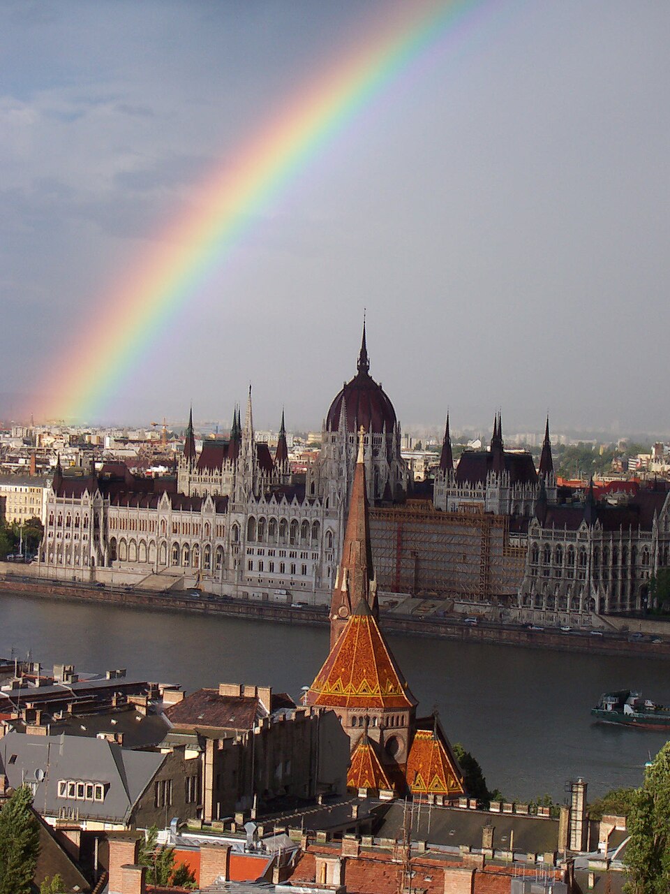
Az Erdélyi bástya a budai Vár északkeleti részén található, az előtte álló József kaszárnya (Táncsics Mihály utca 9.) udvarát határolja. Ez a Bécsi kaputól keletre fekvő legfejlettebb védmű. Alaprajza szögletes, óolasz mintájú, valószínűleg Domenico da Bologna tervei alapján készült. Paolo Giovio szerint Szapolyai János építtette az 1530-as években. A bástya 50 méterre előreugró és 22 méter széles.
Text: Wikipédia: Erdélyi bástya (opening paragraph, possibly shortened), licensed under CC BY-SA 4.0. Contributors are listed in the article history. This text may be redistributed under the same terms.
Description available only in the original language for now.
Coordinates
47.50472, 19.03326

Coordinates of the feature; for paths and areas, these mark the centre, not a shooting position.
Navigation and sources
Imported data, not yet checked by a person. © OpenStreetMap (ODbL)