Architecture · imported, unverified
Fort Karola
fortress
gmina Radków · województwo dolnośląskie · Poland
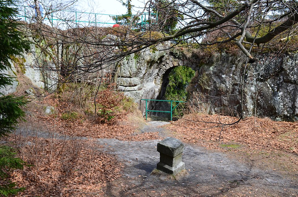
Fort Karola (niem. Blockhaus, Fort Carl) – pozostałości fortu na Górze Ptak (841 m n.p.m.) koło Lisiej Przełęczy. Fort wybudowano w 1790 r., z rozkazu króla Prus Fryderyka Wilhelma II jako niewielką strażnicę na granicy Prus i Austrii z kilkuosobową załogą, strzegącą drogi do Radkowa (Szosa Stu Zakrętów).
Text: Wikipedia: Fort Karola (opening paragraph, possibly shortened), licensed under CC BY-SA 4.0. Contributors are listed in the article history. This text may be redistributed under the same terms.
Description available only in the original language for now.
Coordinates
50.46376, 16.34713

Coordinates of the feature; for paths and areas, these mark the centre, not a shooting position.
Navigation and sources
Imported data, not yet checked by a person. © OpenStreetMap (ODbL)