Landscapes and viewpoints · imported, unverified
Kopiec Tatarski w Przemyślu
peak
Przemyśl · województwo podkarpackie · Poland
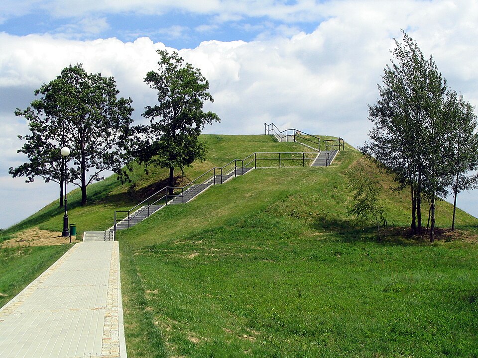
An earthen mound also known as Kopiec Przemysława sits on Zniesienie hill in Przemyśl at an elevation of 350.3 m. Its creation is dated to the end of the 9th century.
Text: Wikipedia: Kopiec Tatarski w Przemyślu (opening paragraph, possibly shortened), licensed under CC BY-SA 4.0. Contributors are listed in the article history. This text may be redistributed under the same terms.
Description machine-translated from the original text; help us fix any mistakes. Report an error
Coordinates
49.77037, 22.77235

Coordinates of the feature; for paths and areas, these mark the centre, not a shooting position.
Navigation and sources
Imported data, not yet checked by a person. © OpenStreetMap (ODbL)