Landscapes and viewpoints · imported, unverified
Savanyúleves bástya
viewpoint
Budapest · Hungary
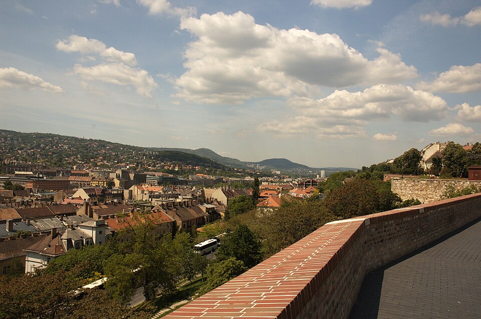
A Savanyúleves tornya (török nevén Eksi as kuleszi azaz savanyú lé) (Budapest, I. kerület, Lovas út) a várnegyed török kori nyugati oldali védőrendszerének egyik rondellája volt. Valószínűleg ez is a 17. században épülhetett, és a belsejében boltozott kazamaták voltak. Ezek lejárata a mai Tóth Árpád sétányról nyílott. A rondella az 1686.
Text: Wikipédia: Savanyúleves tornya (opening paragraph, possibly shortened), licensed under CC BY-SA 4.0. Contributors are listed in the article history. This text may be redistributed under the same terms.
Description available only in the original language for now.
Coordinates
47.50098, 19.03102

Coordinates of the feature; for paths and areas, these mark the centre, not a shooting position.
Navigation and sources
Imported data, not yet checked by a person. © OpenStreetMap (ODbL)