Landscapes and viewpoints · imported, unverified
Stránská skála
peak
Brno · Jihomoravský kraj · Czech Republic
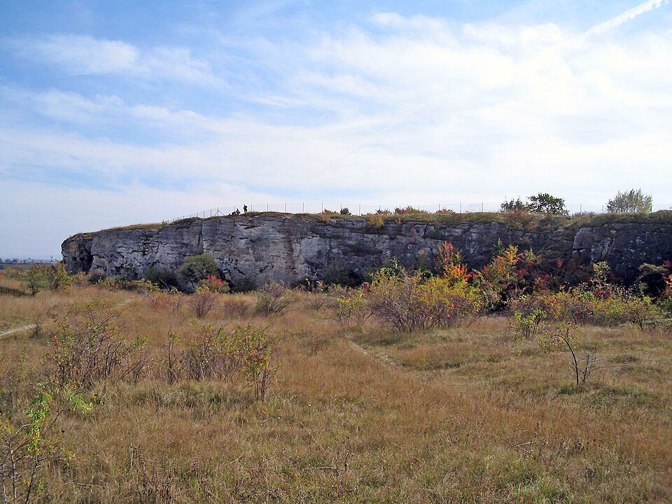
Stránská skála is a limestone rock formation in the northernmost part of the Brno-Slatina district. It lies between Slatina (Hviezdoslavova stop, bus lines 31 or 33, or tram line 10 terminus) and Líšeň, at the border of the Černovice and Tuřany terraces. In the past, it was part of Židenice. In 1978, it was declared a national natural monument.
Text: Wikipedie: Stránská skála (opening paragraph, possibly shortened), licensed under CC BY-SA 4.0. Contributors are listed in the article history. This text may be redistributed under the same terms.
Description machine-translated from the original text; help us fix any mistakes. Report an error
Coordinates
49.19043, 16.67693

Coordinates of the feature; for paths and areas, these mark the centre, not a shooting position.
Navigation and sources
Imported data, not yet checked by a person. © OpenStreetMap (ODbL)