Landscapes and viewpoints · imported, unverified
Tachovský vrch
peak
Tachov · Liberecký kraj · Czech Republic
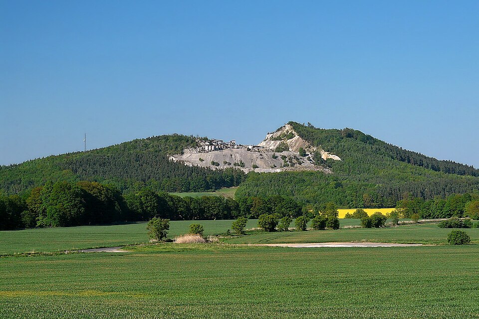
Tachovský vrch (466 m, formerly 498 m) is a Neovolcanic hill in the southern part of the Česká Lípa District, Liberec Region, about three kilometers south of Doksy. At the northwestern foot lies the village of Tachov, on whose cadastral territory the hill mostly lies; smaller parts also belong to the cadastres of Obora and Okna.
Text: Wikipedie: Tachovský vrch (opening paragraph, possibly shortened), licensed under CC BY-SA 4.0. Contributors are listed in the article history. This text may be redistributed under the same terms.
Description machine-translated from the original text; help us fix any mistakes. Report an error
Coordinates
50.53846, 14.6463

Coordinates of the feature; for paths and areas, these mark the centre, not a shooting position.
Navigation and sources
Imported data, not yet checked by a person. © OpenStreetMap (ODbL)