Landscapes and viewpoints · imported, unverified
Szrenica
peak
Szklarska Poręba · województwo dolnośląskie · Poland
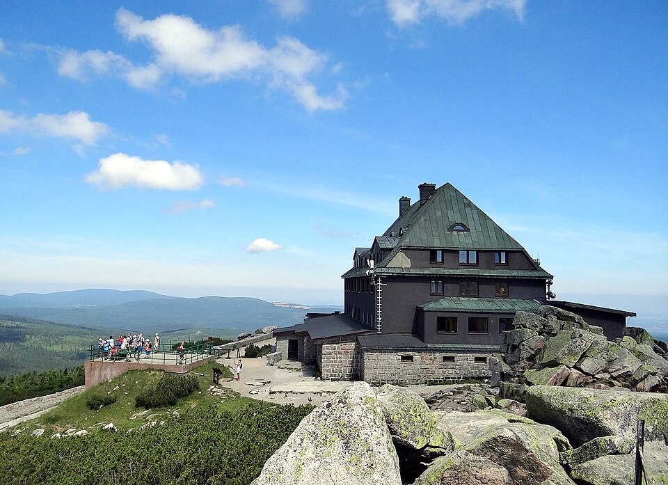
Szrenica (1362 m n.p.m., niem. Reifträger, cz. Jínonoš) – szczyt górski położony w zachodniej części Karkonoszy, w pobliżu granicy państwowej z Czechami, na południe od Szklarskiej Poręby. Doskonały punkt widokowy na Kotlinę Jeleniogórską oraz Góry Izerskie, a także Karkonosze czeskie. Sam szczyt Szrenicy wyniesiony jest ponad główny grzbiet Karkonoszy (Śląski Grzbiet) na wysokość 60 m.
Text: Wikipedia: Szrenica (opening paragraph, possibly shortened), licensed under CC BY-SA 4.0. Contributors are listed in the article history. This text may be redistributed under the same terms.
Description available only in the original language for now.
Coordinates
50.79148, 15.51406

Coordinates of the feature; for paths and areas, these mark the centre, not a shooting position.
Navigation and sources
Imported data, not yet checked by a person. © OpenStreetMap (ODbL)