Landscapes and viewpoints · imported, unverified
Kopiec Wyzwolenia
peak
Piekary Śląskie · województwo śląskie · Poland
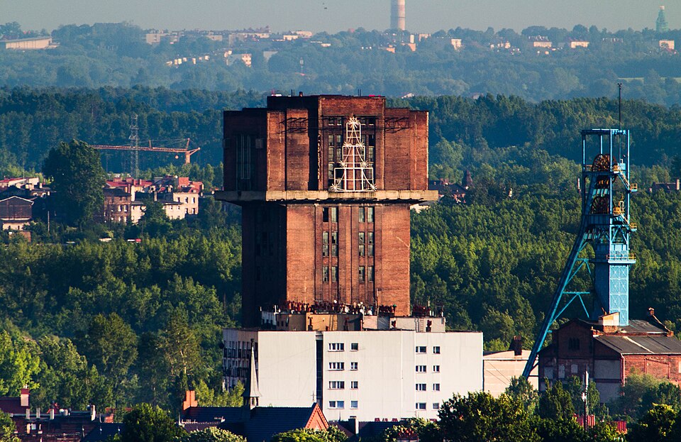
Kopiec Wyzwolenia – kopiec w Piekarach Śląskich usypany w latach 1932–1937 dla uczczenia 250. rocznicy przemarszu husarii polskiej króla Jana III Sobieskiego pod Wiedeń oraz 15. rocznicy przyłączenia wschodniej części Górnego Śląska do Polski. Stał się symbolem walki o polskość i pamiątką walk powstańców śląskich. Stanowi najwyższy punkt w granicach miasta i położony jest w zachodniej części centrum Piekar Śląskich.
Text: Wikipedia: Kopiec Wyzwolenia (opening paragraph, possibly shortened), licensed under CC BY-SA 4.0. Contributors are listed in the article history. This text may be redistributed under the same terms.
Description available only in the original language for now.
Coordinates
50.39113, 18.93069

Coordinates of the feature; for paths and areas, these mark the centre, not a shooting position.
Navigation and sources
Imported data, not yet checked by a person. © OpenStreetMap (ODbL)