Landscapes and viewpoints · imported, unverified
Nagy-Milic
peak
Skároš · Borsod-Abaúj-Zemplén megye · Hungary
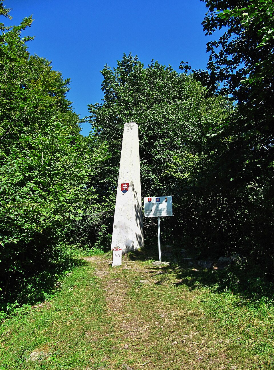
A Nagy-Milic (Nagymilic; helyileg: Milic, olykor Milics; szlovákul: Veľký Milič) hegy az Északi-középhegységben. Az országhatár itt vágja ketté az Eperjes–Tokaji-hegyláncot, amelynek hazai oldalon lévő déli része, a Zempléni-hegység ezen a ponton emelkedik a legmagasabbra (895 méterével Magyarország hegyeinek listáján a 38.).
Text: Wikipédia: Nagy-Milic (opening paragraph, possibly shortened), licensed under CC BY-SA 4.0. Contributors are listed in the article history. This text may be redistributed under the same terms.
Description available only in the original language for now.
Coordinates
48.57677, 21.45812

Coordinates of the feature; for paths and areas, these mark the centre, not a shooting position.
Navigation and sources
Imported data, not yet checked by a person. © OpenStreetMap (ODbL)