Rock formations and nature · imported, unverified
Samorody
rock
gmina Krościenko nad Dunajcem · województwo małopolskie · Poland
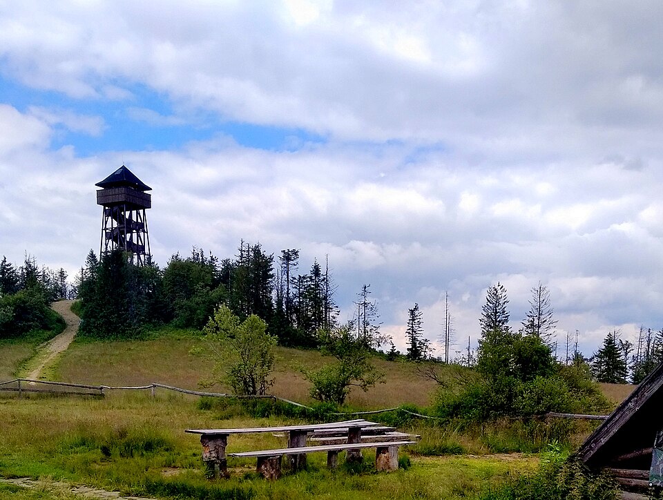
Samorody – skały pod szczytem Lubania w Gorcach. Są to zbudowane z piaskowca magurskiego skałki na skalistym cyplu po południowej stronie polany Wierch Lubania. Obok Samorodów widoczne są fundamenty schroniska turystycznego, które działało tutaj od 1934 r. W 1944 zostało spalone przez Niemców, gdyż w czasie wojny ukrywali się w nim partyzanci.
Text: Wikipedia: Samorody (opening paragraph, possibly shortened), licensed under CC BY-SA 4.0. Contributors are listed in the article history. This text may be redistributed under the same terms.
Description available only in the original language for now.
Coordinates
49.48774, 20.33997

Coordinates of the feature; for paths and areas, these mark the centre, not a shooting position.
Navigation and sources
Imported data, not yet checked by a person. © OpenStreetMap (ODbL)