Landscapes and viewpoints · imported, unverified
Suchy Groń
peak
gmina Węgierska Górka · województwo śląskie · Poland
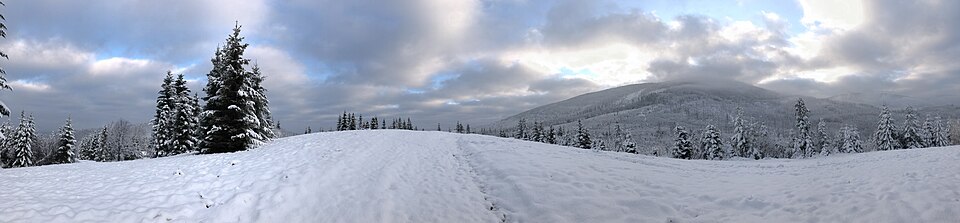
Suchy Groń (870 m) – niewielkie wzniesienie w Grupie Lipowskiego Wierchu i Romanki w Beskidzie Żywiecko-Orawskim, znajdujące się na grzbiecie łączącym Romankę ze Skałą. Na topograficznej mapie Geoportalu wzniesienie ma wysokość 870 m i nie posiada nazwy.
Text: Wikipedia: Suchy Groń (Beskid Żywiecki) (opening paragraph, possibly shortened), licensed under CC BY-SA 4.0. Contributors are listed in the article history. This text may be redistributed under the same terms.
Description available only in the original language for now.
Coordinates
49.57197, 19.22137

Coordinates of the feature; for paths and areas, these mark the centre, not a shooting position.
Navigation and sources
Imported data, not yet checked by a person. © OpenStreetMap (ODbL)