Water · imported, unverified
Pekelský vodopád
waterfall
Chuderov · Ústecký kraj · Czech Republic
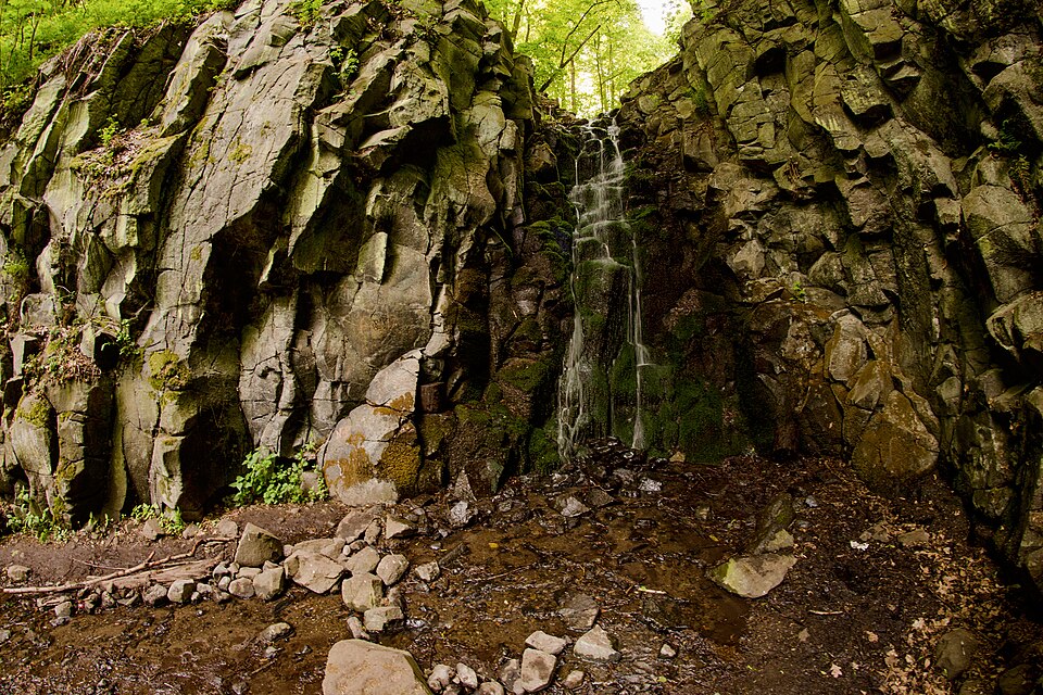
Pekelský vodopád is situated between Žežice (to the south) and Krásné Březno district of Ústí nad Labem (to the north). It is a single-tier waterfall about 7 meters high, dropping over basalt bedrock in a deciduous forest. Pekelský potok continues through an erosional valley. Flow rate is 20-25 liters per second depending on weather. Pekelský potok shares its name with another stream in the Frýdlant hook.
Text: Wikipedie: Pekelský vodopád (opening paragraph, possibly shortened), licensed under CC BY-SA 4.0. Contributors are listed in the article history. This text may be redistributed under the same terms.
Description machine-translated from the original text; help us fix any mistakes. Report an error
Coordinates
50.6787, 14.07487

Coordinates of the feature; for paths and areas, these mark the centre, not a shooting position.
Navigation and sources
Imported data, not yet checked by a person. © OpenStreetMap (ODbL)