Landscapes and viewpoints · imported, unverified
Zsíros-hegy
peak
Solymár · Pest megye · Hungary
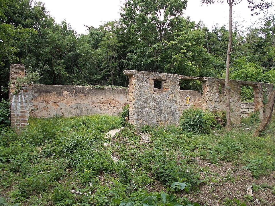
A Zsíros-hegy egy hegy a Budai-hegységben. 424 méter magas csúcsa közigazgatásilag Solymár területén található, közel a nagykovácsi-pilisszentiváni hármas határhoz. Területe a Duna–Ipoly Nemzeti Park és a Budai Tájvédelmi Körzet része. Gépjárművel is könnyen megközelíthető, de csak Nagykovácsi felől.
Text: Wikipédia: Zsíros-hegy (opening paragraph, possibly shortened), licensed under CC BY-SA 4.0. Contributors are listed in the article history. This text may be redistributed under the same terms.
Description available only in the original language for now.
Coordinates
47.5911, 18.90083

Coordinates of the feature; for paths and areas, these mark the centre, not a shooting position.
Navigation and sources
Imported data, not yet checked by a person. © OpenStreetMap (ODbL)