Towns, cities and streets · imported, unverified
Deák Ferenc híd
bridge
municipality and region not yet available · Hungary
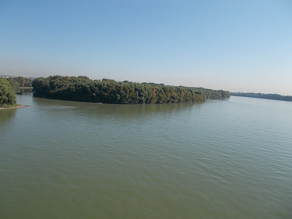
A Deák Ferenc híd (a Földrajzinév-bizottság 2003. október 27-i, 47/454. számú döntése szerint, nem hivatalosan az M0-s autóút déli Duna-hídja, de nevezik Hárosi Duna-hídnak is) Budapest legdélibb Duna-hídja, az E60, E71, E75 nemzetközi főútvonalak része. A kész hidat 1990. november 16-án adták át a forgalomnak. Névadója Deák Ferenc politikus. 2013. június 30-án adták át a híd déli párját.
Text: Wikipédia: Deák Ferenc híd (opening paragraph, possibly shortened), licensed under CC BY-SA 4.0. Contributors are listed in the article history. This text may be redistributed under the same terms.
Description available only in the original language for now.
Coordinates
47.38931, 19.0138

Coordinates of the feature; for paths and areas, these mark the centre, not a shooting position.
Navigation and sources
Imported data, not yet checked by a person. © OpenStreetMap (ODbL)