Water · imported, unverified
Oravská priehrada
reservoir
Námestovo · Žilinský kraj · Slovakia
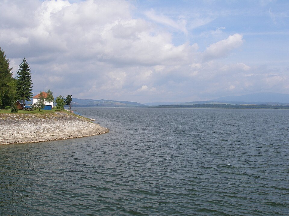
Orava or Oravská priehrada is a reservoir and part of the water structure of the same name (including the Tvrdošín balancing reservoir), built at the confluence of Biela Orava and Čierna Orava. Located in northern Slovakia in the eponymous region, Oravská priehrada is the largest dam in Slovakia by both water volume and surface area.
Text: Wikipédia: Orava (vodná nádrž) (opening paragraph, possibly shortened), licensed under CC BY-SA 4.0. Contributors are listed in the article history. This text may be redistributed under the same terms.
Description machine-translated from the original text; help us fix any mistakes. Report an error
Coordinates
49.41296, 19.55088

Coordinates of the feature; for paths and areas, these mark the centre, not a shooting position.
Navigation and sources
Imported data, not yet checked by a person. © OpenStreetMap (ODbL)